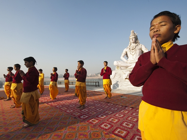
India, literally, has everything. From lush mountains to dense forests to beautiful beaches. Move in any direction for sometime and you will find beautiful transitions in the landscape as well as the climate.
It is the 7th largest country in the world by area.
Indian Standard Time is 5 hours and 30 minutes ahead of GMT (+5:30).
India shares its borders with Pakistan in the west, with Nepal, Bhutan and China in the north-east and with Bangladesh in the east. Sri Lanka lies to the south, separated by the Palk straight.
The southernmost tip of the Indian mainland is situated in the state of Tamil Nadu at Cape Comorin near Kanyakumari while the southernmost point of India is situated in the Andaman and Nicobar Islands and is called Indira point.
The northern-most and eastern-most points claimed by India are both in territory disputed between India and China. The northernmost point is near Indira Col at the altitude of 5,764 metres (18,911 ft) in Siachen Clacier (Jammu and Kashmir State). The easternmost point is Kibithu town (Arunachel Pradesh state), one of the easternmost permanently populated town of India.
The westernmost point of India is Guhar Moti village near the Sir Creek (Gujarat) which is the western-most inhabited village of India.
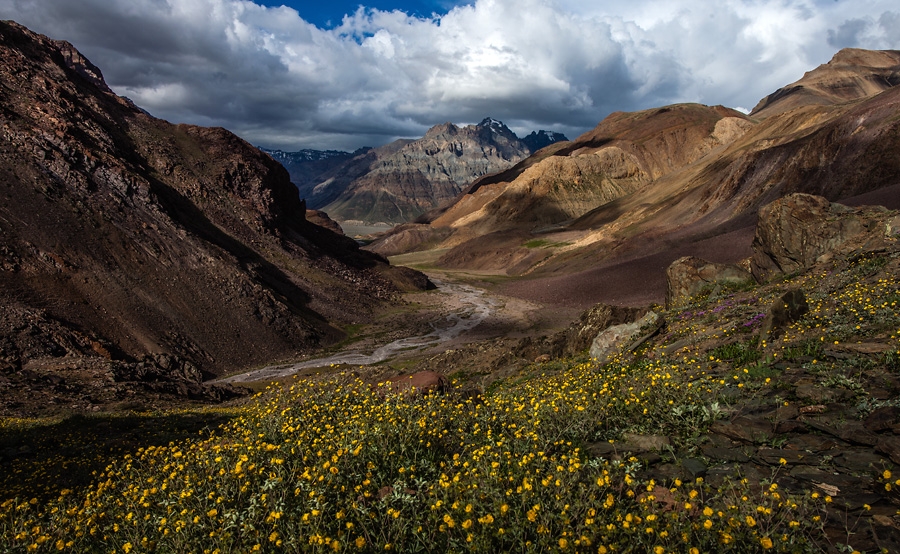
The Indian North consists of the majestic Himalayas which is the tallest (and youngest) mountain range in the world. The perennial and sacred rivers of Ganga and Yamuna originate from the Gangotri and Yamunotri glaciers situated in this range. Another great Himalayan river, Brahmaputra, flows towards north-eastern India, especially Assam.
Ganga is the longest river of India while the Yamuna is the longest tributary river in the country.
Kanchenjunga, the tallest peak in India (8598 m or 28209 ft), is situated along the Nepal – Sikkim border. It is the third highest peak in the world.
The Great Plains of India run almost parallel to the Himalayas and cover an area of approximately 700,000 sq km (270271 sq.mi). In the southern part of the fertile state of Punjab lies the Aravalli mountain range which extends into Rajasthan as well.
The western part of Rajasthan is dominated by the Thar Desert, which is the seventh largest desert in the world and extends into the neighboring nation of Pakistan.
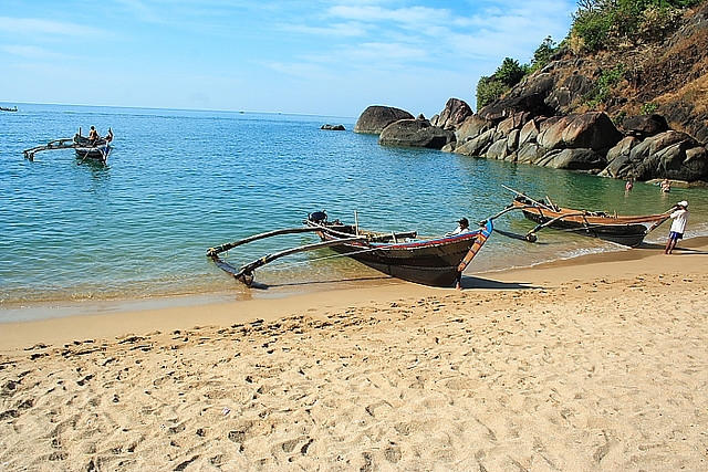
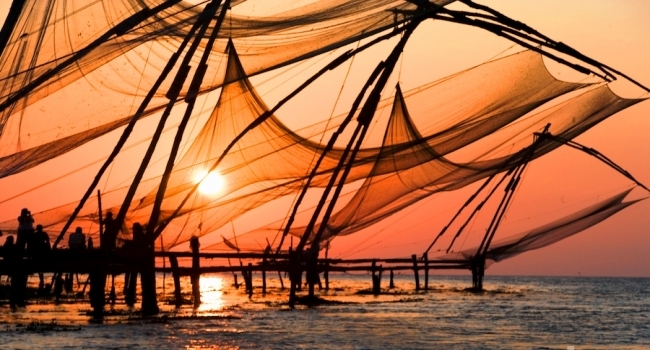
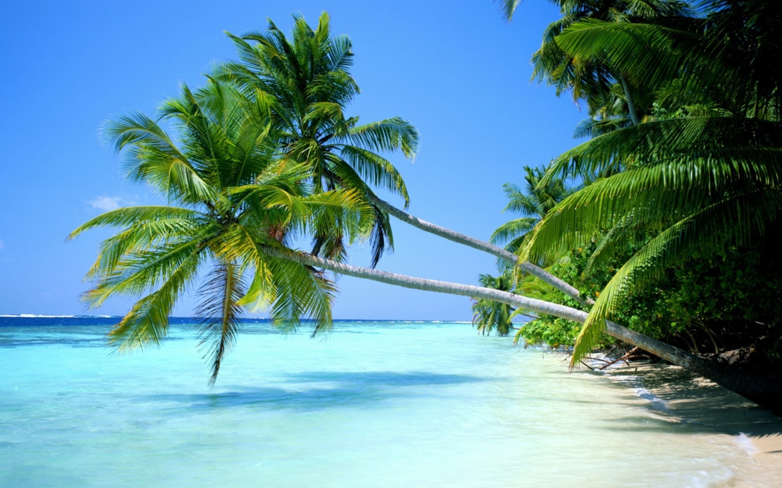
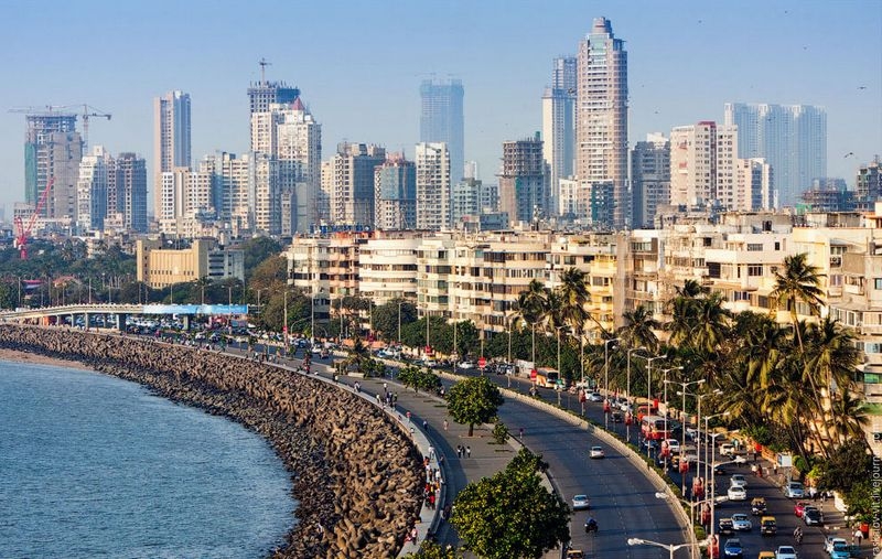
Peninsular India is surrounded by the Arabian Sea, Bay of Bengal and the Indian Ocean and thus has a long and scenic coastline.
In the plateau‘s northeast is located a thick, dense forest called the Dandakaranya. This forest covers the states of Jharkhand, Chattisgarh, Northern Andhra Pradesh as well as the Eastern edge of Maharashtra.
Regions
India is divided into 28 states and 7 Union Territories (UT) which are majorly demarcated on linguistic lines. The size of these states varies largely, with some of the larger ones bigger than entire countries in Europe. The Union Territories are much smaller in size and sometimes consist of just a single city.
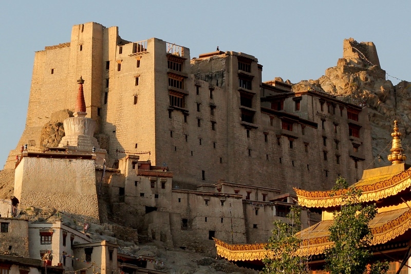
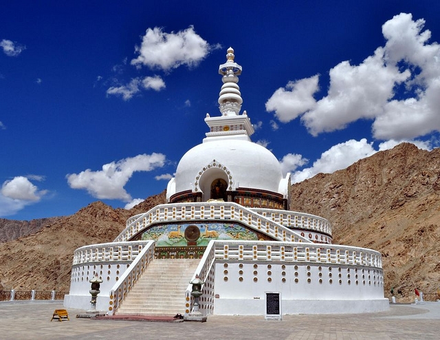
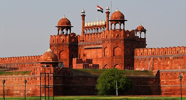
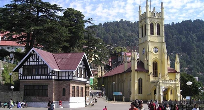
For more information on Indian regions see the section destinations.
National parks
India has a huge number of National Parks. The most popular ones are:
- Bandhavgarh National Park- located in Umaria District, Madhya Pradesh.
- Ranthambore National Park-located near Sawai Madhopur, Rajasthan.
- Kaziranga National Park- located in Golaghat, Assam.
- Kanha National Park-located in Mandla District, Madhya Pradesh
- Eravikulam National Park- located in Munnar, Kerala
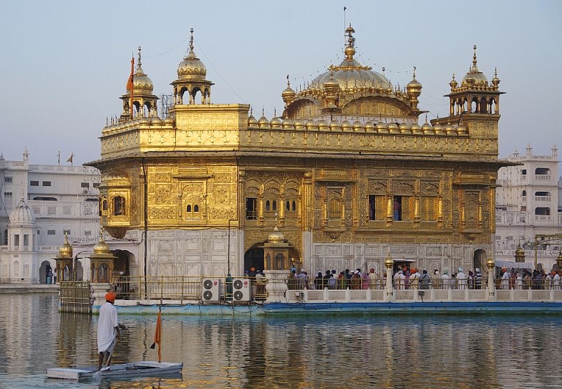
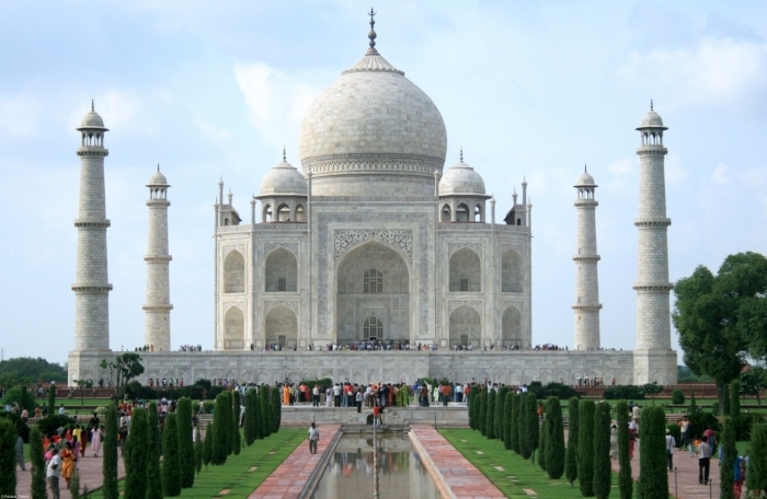
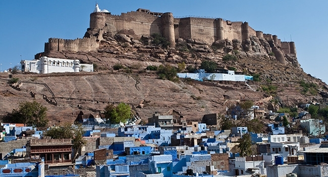
Most Popular Destinations |


|